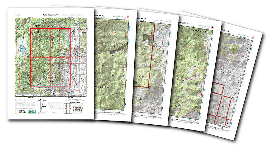
Nat Geo Provides FREE USGS Topo Maps
Whether you're an avid hiker and camper, a hunter, or even a squatcher, you've probably encountered moments where you wish you had a really good topographic map. You searched online and (maybe) through several links, a few clicks of the "back" button, even more link clicks, you finally found the topo map you needed. Maybe. At least you think it's the one you needed. And if it is the one you need it's far too large to print. No matter what your print settings are, it invariably prints only a small portion of the map.
Ever encountered this situation? If you have, then you know the frustration involved in locating a really good, accurate, and printable topo map. Be frustrated no more!
National Geographic recently announced they have released updated USGS topo maps through their website, www.natgeomaps.com. Not only are the maps now in color and nicely shaded, they are come as a downloadable PDF file, are printable and FREE! That's right, FREE.
Also, aiding to the ease of locating the correct topo, is an interactive map of the United States. You can either type in the quad map name you are searching for, or move and zoom in and out on the map freely to find your topo.
Check out the easy to use features today here.


